Turnout Get the app

Drive, hike and camp in one trip.

A Turnout trip holds the days, routes, camps, stops and people in one place, from your door to the trailhead, up the trail and back.
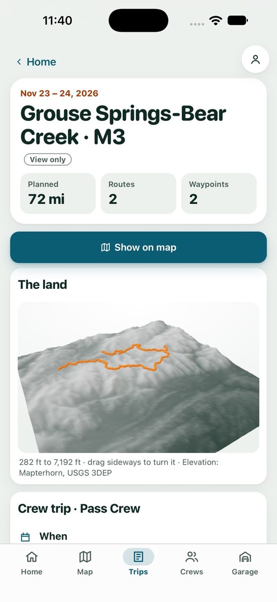
Turnout trip screen for Grouse Springs to Bear Creek: 72 miles, 2 routes, 2 waypoints, with a 3D view of the land and the route drawn over it.

How it works

Day by day
Lay the trip out by date and move stops between days.
Routes that follow the ground
Tap along a road or trail and the route snaps to it, on your phone and offline, with distance and an estimated time for driving or hiking.
The hike is part of the trip
Park at the trailhead and keep planning on foot: the trail, the distance and the climb to the top, in the same trip as the drive.
Elevation profile
See the climb, descent, high and low points and the steepest grade for each route.
Camp land check
Each camp spot shows whether it's on mapped public land, or warns that it may be private.
Weather and fuel
A forecast for each start, camp and stop, saved for offline, and the last mapped fuel before each day, with a warning when a stretch is longer than your rig's safe range.
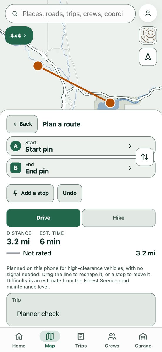
Turnout route builder: a route drawn from a start pin to an end pin, with Drive and Hike choices, distance 3.8 miles and an estimated 8 minutes.

Draw it in a few taps.

Pick a start and an end, add stops, and switch between drive and hike. Turnout shows the distance and time for every leg as you build it.

Get Turnout on your phone

Scan with your phone's camera. It opens the right store for iPhone or Android.